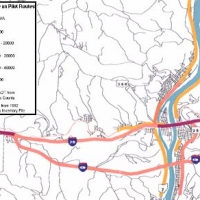
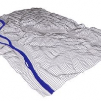
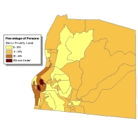
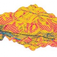
GIS-T is transportation specific application of the Geographic Information System. A geographic information system consists of hardware, software and databases that contain spatial and attribute information about the relevant locations. Software can generate/import these databases and operates on them to present various views of the data in the databases. Click on the image for more information.